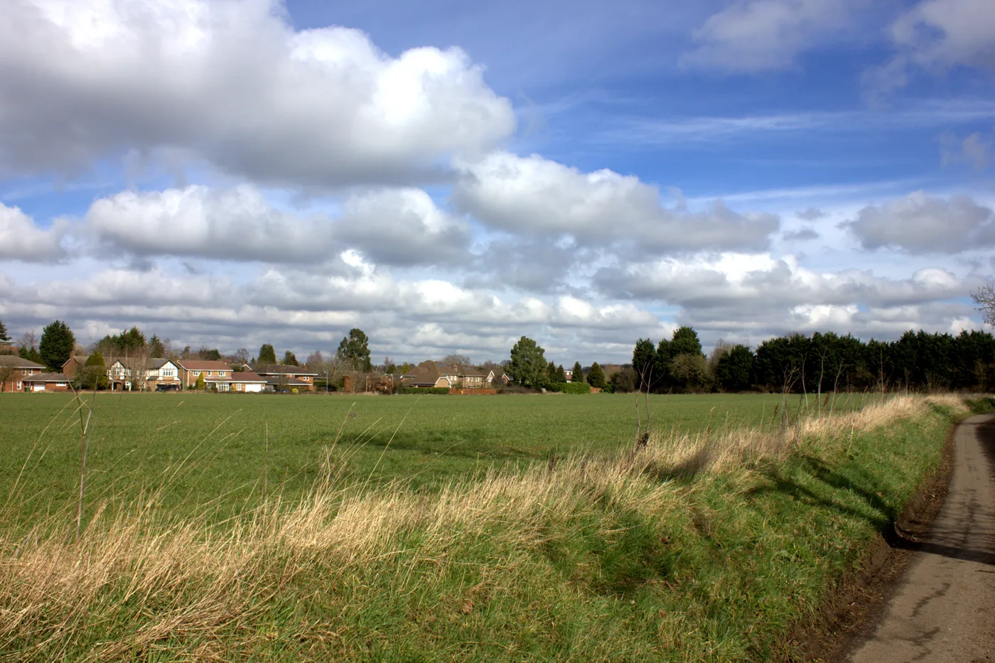

St Albans adopted its new Local Plan on 9 September, replacing the 1994 plan: 15,045 homes by 2041 on twelve strategic sites. Plus live applications.
St Albans district has a new Local Plan. Councillors adopted it at an extraordinary Full Council meeting on 9 September 2026, and it took effect the same day. It wholly replaces the District Local Plan Review 1994, adopted on 30 November 1994, which the council’s officers called the oldest in England. Our report on the adoption has the detail.
The new plan allows 15,045 new homes across the district between 2024 and 2041, and it takes twelve sites out of the Green Belt to do it. A six-week window for a High Court challenge runs from 9 September.
Where the Local Plan has got to
| Date | Stage |
|---|---|
| 29 November 2024 | Plan submitted to the Planning Inspectorate |
| 29 April 2025 | Stage 1 hearings open |
| 27 June 2025 | Inspectors' post Stage 1 hearings note |
| 14 October to 14 November 2025 | Stage 2 hearings, four weeks |
| 11 December 2025 | Extra hearing on the Gypsy and Traveller topic paper |
| 15 January 2026 | Inspectors' post-hearings letter to the council |
| 13 April to 26 May 2026 | Main Modifications consultation |
| 14 July 2026 | Consultation responses published |
| 21 August 2026 | Inspectors' report: sound, with Main Modifications |
| 9 September 2026 | Adopted by Full Council, in force the same day |
The inspectors are Matthew Birkinshaw and Thomas Bristow. Their January letter made clear they had not reached final conclusions, and set out where they still needed modifications, particularly on the Green Belt boundary around the Hemel Hempstead sites, where the council had proposed following a line of overhead power lines. National policy asks for boundaries drawn on features that are “readily recognisable and likely to be permanent”, and pylons did not obviously qualify.
Since adoption the plan carries full weight in planning decisions. It is the main part of the district’s development plan, alongside the neighbourhood plans for Harpenden, Sandridge, St Stephen, Redbourn and Wheathampstead. Before adoption it already carried significant weight, which is why applications on allocated sites were being decided before 9 September.
The numbers the plan is built on
| Measure | Figure |
|---|---|
| Local housing need, standard method | 885 homes a year |
| Total requirement, April 2024 to March 2041 | 15,045 homes |
| First period, 2024 to 2031 | 3,795 homes |
| Second period, 2031 to 2036 | 6,050 homes |
| Third period, 2036 to 2041 | 5,200 homes |
| Recent delivery, 2024/25 to 2025/26 | 345 to 360 homes a year |
That last row is the one to sit with. The council’s own note to the inspectors in February 2026 puts average completions across 2024/25 and 2025/26 at 345 homes a year on one measure and 360 on another, against a requirement of 885. The requirement is stepped deliberately so that the early years ask for less, and on that basis the council calculates a five-year housing land supply of 5.12 years on adoption, from 3,777 expected homes against a stepped requirement of 615 a year plus a 20% buffer.
The Green Belt releases
Over 81% of St Albans district is Green Belt, some 13,141 hectares, which is the central fact of planning here. The plan identifies twelve Strategic Allocations, described as “areas of significant urban extension”, and takes them out of the Green Belt.
| Site | Minimum capacity |
|---|---|
| East Hemel Hempstead (South) | 2,400 homes, 460 beyond 2041 |
| East Hemel Hempstead (North) | 1,600 homes, 365 beyond 2041 |
| North Hemel Hempstead | 1,500 homes, 375 beyond 2041 |
| North St Albans | 1,168 homes |
| North East Harpenden | 738 homes |
| West Redbourn | 594 homes |
| East St Albans | 511 homes |
| Glinwell, St Albans | 484 homes |
| West of London Colney | 324 homes |
| North West Harpenden | 293 homes |
| Harper Lane, near Radlett | 274 homes |
| East Hemel Hempstead (Central) | 53 hectares of employment land |
Three of the four largest sites are at Hemel Hempstead, on the far western edge of the district, and they are not really St Albans schemes at all. They are the St Albans share of Hemel Garden Communities, a joint programme with Dacorum Borough Council. Together the growth areas north and east of Hemel are expected to deliver up to 11,000 homes and 10,000 jobs by 2050 across both councils, with around 4,000 of those jobs at the Hertfordshire Innovation Quarter. Within St Albans district the plan commits to at least 4,300 homes by 2041 and 5,500 by 2050.
Those Hemel policies, H1 to H4, are expected to supply about 40% of the district’s whole housing requirement and about 59% of its new employment land. If they slip, the plan slips.
The sites that will feel most local are North St Albans (1,168 homes), East St Albans (511 homes, with a six-form-entry secondary school and improvements to Oaklands College), North East Harpenden (738), West Redbourn (594) and West of London Colney (324).
The applications already in
Five major schemes are live and the council has given each of them its own documents page because the files are too big for the normal portal. All five sit on land the emerging plan proposes to allocate.
| Reference | Site | Valid from |
|---|---|---|
| 5/2026/0953 | North Hemel Hempstead, land bounded by Tullochside, Holtsmere End Lane, Little Revel End Lane and Hemel Hempstead Road | 27 May 2026 |
| 5/2026/0051 | Land between Common Lane and Lower Luton Road, Harpenden | 11 March 2026 |
| 5/2025/1875 | Oaklands College Smallford campus and land south of Sandpit Lane, St Albans | 4 December 2025 |
| 5/2025/1964 | Land east of Hemel Hempstead | 4 December 2025 |
| 5/2024/2271 | Land off Sandridgebury Lane, between the railway and Harpenden Road | 26 February 2025 |
The grey belt test at Sandridge
The application worth watching is not on that list. On 3 August 2026 the Development Management Committee heard 5/2025/1556/SSM, an outline application by ACRE SA Ltd and The Salvation Army Trustee Company for around 84 homes on land rear of Shottfield Close, Sandridge. The site is in the Metropolitan Green Belt and it is not allocated in the emerging Local Plan.
Officers recommended approval anyway. Their report concludes that the land “constitute[s] ‘grey belt’ as defined in the NPPF December 2024” and meets the Golden Rules in paragraph 155, which means the usual Green Belt objection does not apply. Objectors, including on Green Belt openness and on the grey belt classification itself, argued the opposite. The committee also heard 5/2025/1469/MIND, nine homes at The Crooked Billet, 88 High Street, Colney Heath.
Whichever way that went, the principle is the point. If unallocated Green Belt fields in the villages can be approved as grey belt while the Local Plan is still being written, the twelve allocations stop being the ceiling on where building happens.
What the ordinary week looks like
The strategic sites take the headlines; the register does the work. In the week ending 7 August 2026 the council registered 31 new applications and issued 35 decisions. Those included 19 conditional permissions, six certificates of lawfulness approved and three refused, and two withdrawn applications. Not one application for planning permission was refused that week. Batchwood, Marshalswick East and Jersey Farm, Redbourn and St Peters had three new applications each, and the four Harpenden wards eight between them.
The council’s planning department spent a year in the government’s bad books over this. It was designated in March 2024 for deciding only 68.2% of non-major applications on time, below the 70% threshold. After a service review and new software the rate reached 84.9% and the designation was lifted in June 2025; the council reported 89% by December 2025. Statutory planning fees rose 3.8% on 1 April 2026.
The council that adopted this plan, and its future
On 16 July 2026 the government decided that Hertfordshire would be reorganised into four unitary councils, with St Albans City and District Council merged with Dacorum Borough Council into West Hertfordshire Council from 1 April 2028. On 7 September 2026 it put that decision under review and told councils to stop work on it. Elections in May 2027 go ahead to the existing councils. What the pause means.
Dacorum matters to this plan either way. It is the council St Albans shares Hemel Garden Communities with, and Hemel supplies about 40% of the St Albans housing requirement.
How to check an application yourself
The council’s online planning search is at planningapplications.stalbans.gov.uk. Search by reference number in the form 5/2026/1234, or by address with the postcode spaced. Documents, plans and decision notices go back to January 2003 and decision notices back to 1976.
Weekly lists of new applications and decisions are published as PDFs on the council’s applications, decisions and appeals page, usually within a few days of the week ending. If you want to object or support, do it through the portal and include your address; comments are published.
Frequently asked questions
Does St Albans have a Local Plan?
Yes. The St Albans Local Plan (2026) was adopted on 9 September 2026 and wholly replaces the District Local Plan Review 1994. It comes in two parts, A and B, with a policies map, all on the council’s Current Local Plan page.
How many homes does the St Albans Local Plan propose?
15,045 homes between 1 April 2024 and 31 March 2041, based on a standard-method local housing need of 885 a year, delivered in steps of 3,795, 6,050 and 5,200 across the three periods of the plan.
Which parts of the Green Belt are released?
Twelve Strategic Allocations, the largest of them the three Hemel Hempstead growth areas. Within St Albans itself the main ones are North St Albans (1,168 homes), East St Albans (511), North East Harpenden (738), West Redbourn (594), Glinwell (484), West of London Colney (324), North West Harpenden (293) and Harper Lane near Radlett (274).
When was the new St Albans Local Plan adopted?
On 9 September 2026, at an extraordinary Full Council meeting, and it took effect the same day. The council’s adoption statement, dated 10 September, says any High Court challenge under section 113 must be made within the six weeks starting from 9 September, and only on the grounds that the plan is outside the appropriate power or that a procedural requirement was not met.
Does St Albans have a five-year housing land supply?
The council calculates 5.12 years on adoption of the new plan, from 3,777 expected homes over 2026/27 to 2030/31 against a stepped requirement of 615 a year plus a 20% buffer. With the plan now adopted, that is the council’s position: a margin of 87 homes over the 3,690 required.
Where do I search St Albans planning applications?
At planningapplications.stalbans.gov.uk. Weekly lists of registrations and decisions are published as PDFs by the council.
Is St Albans council being abolished?
Not for now. The July 2026 decision would have passed planning to a new West Hertfordshire unitary council from 1 April 2028, but on 7 September the government put that decision under review, with no end date. St Albans City and District Council remains the planning authority, and its elections go ahead on 6 May 2027.
Sources
- New Local Plan and Current Local Plan, St Albans City and District Council, for the 1994 plan, the submission date and the Main Modifications consultation.
- St Albans City and District Local Plan Examination: latest news and updates for the examination timeline and the 21 August 2026 inspectors’ report.
- St Albans Local Plan (2026) Adoption Statement, 10 September 2026, and the Local Plan adoption report to Council, 9 September 2026, for the adoption, its effect and the challenge window.
- Draft Local Plan 2041 Main Modifications Publication, Part A (PDF) for Policy SP3, the Green Belt figures and Table 3.1, the twelve Strategic Allocations.
- SADC/ED117 Housing Land Supply Note, February 2026 (PDF) for the 5.12-year supply calculation and the 345 to 360 homes a year delivery figures.
- SADC/ED113 Inspectors’ post-hearings letter, 15 January 2026 (PDF) for the inspectors’ names and their view on the Hemel Green Belt boundary.
- Development Management Committee agenda, 3 August 2026 and the officer report for 5/2025/1556 for the Shottfield Close grey belt case.
- Weekly list of planning and TPO treeworks applications and decisions, week ending 7 August 2026 (PDF) for the week’s registrations and decisions.
- Planning department’s designated status lifted following major improvement for the designation and the performance figures.
- Government announces four unitary authorities in Hertfordshire and Review of Local Government Reorganisation Announced by Government for local government reorganisation and its pause.
Planning positions change week to week. Check the council’s own register before relying on anything here. What the market is doing is on St Albans house prices; what the roads are doing is on St Albans roadworks, parking and travel.
Have your say